Location: Zambia
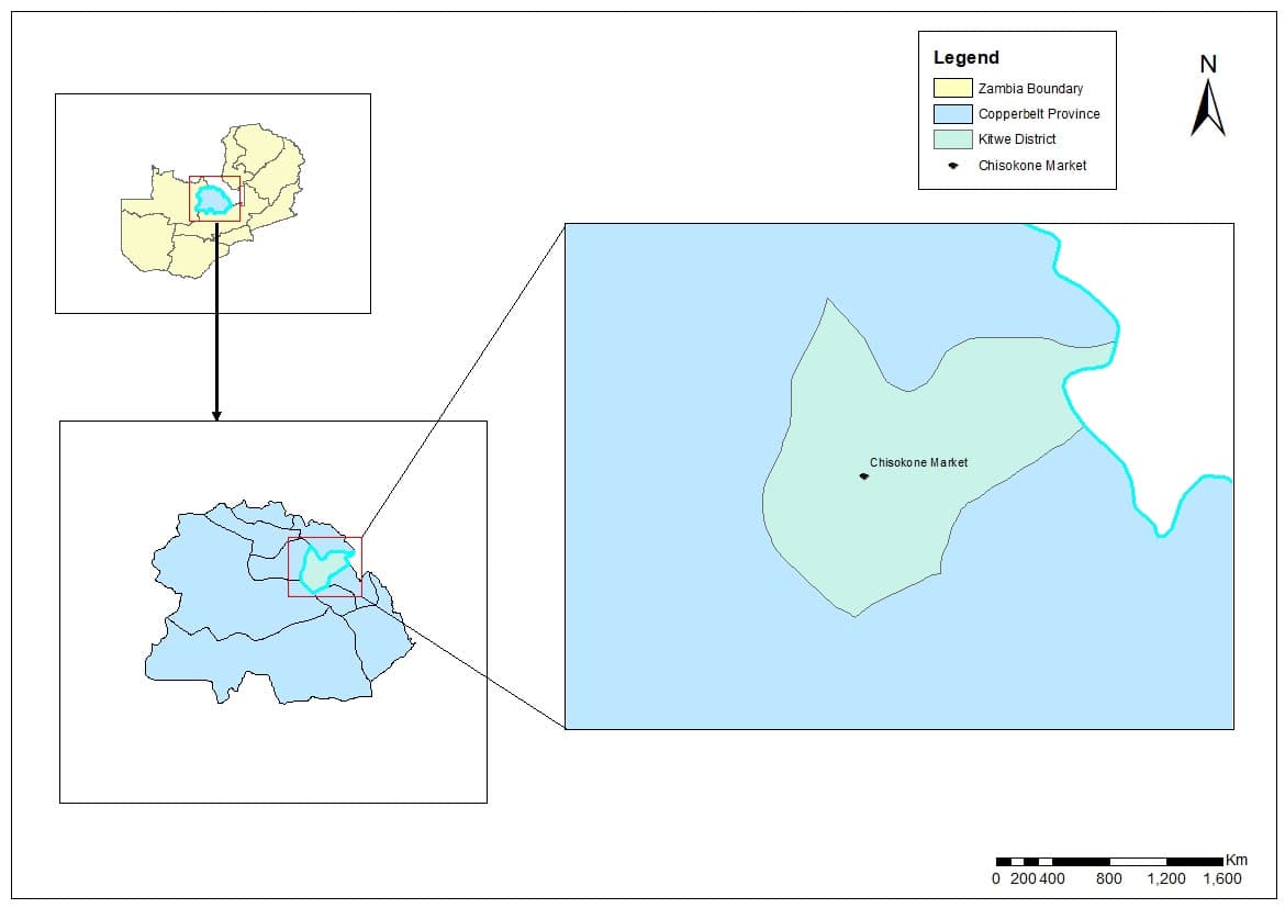
Methodology & Integration: Deployed high-precision GNSS positioning and advanced drone scanning technology to generate rich, engineering-grade topographical datasets. Core Deliverables: Our spatial setups optimize data layer handling to support infrastructure scaling. Project outputs include precise contour line generations, spatial overlay configurations, and robust, multi-layered infrastructure asset catalogs.