Location: Zambia
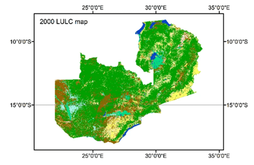
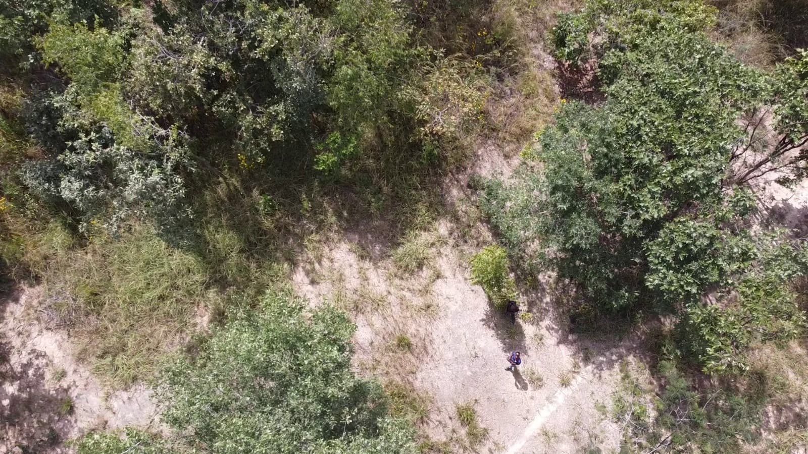
Environmental Analysis: Utilized multi-spectral satellite imagery and high-altitude drone capture to build comprehensive spatial records classifying regional vegetation profiles and human development footprints over time. Strategic Planning Support: The resulting diagnostic assets empower localized conservation tracking, zoning alignment verification, and targeted environmental risk mitigation planning.